Back Rosneath CEB Rosneath Welsh Rosneath English Rosneath Spanish Rosneath Basque راسنیت Persian Rosneath French Ros Neimhidh Irish Rosneath Italian Rosneath Swedish
| Rosneath schottisch-gälisch Ros Neimhidh | ||
|---|---|---|
 | ||
| Koordinaten | 56° 1′ N, 4° 48′ W | |
|
| ||
| Traditionelle Grafschaft | Dunbartonshire | |
| Einwohner | 849 Zensus 2011 | |
| Verwaltung | ||
| Post town | HELENSBURGH | |
| Postleitzahlenabschnitt | G84 | |
| Vorwahl | 01436 | |
| Landesteil | Scotland | |
| Council area | Argyll and Bute | |
| Britisches Parlament | Argyll and Bute | |
| Schottisches Parlament | Dumbarton | |
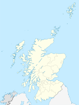
Rosneath (schottisch-gälisch Ros Neimhidh)[1] ist eine Ortschaft in der schottischen Council Area Argyll and Bute. Sie liegt im Südosten der Halbinsel Rosneath am Ufer des Meeresarmes Gare Loch gegenüber der Ortschaft Rhu. Helensburgh ist etwa vier Kilometer östlich und Greenock sechs Kilometer südlich gelegen.[2] Bei der Volkszählung 2011 wurden in Rosneath 849 Einwohner verzeichnet. Damit ist die Einwohnerzahl seit 1991 um 544 gesunken. Im Jahre 1881 wurden 1994 Einwohner in Rosneath gezählt.[3][4]
- ↑ Informationen des schottischen Parlaments
- ↑ Rosneath. Argyll and Bute. In: David Munro, Bruce Gittings: Scotland. An Encyclopedia of Places & Landscapes. Collins u. a., Glasgow 2006, ISBN 0-00-472466-6.
- ↑ Eintrag. In: Gazetteer for Scotland. 2011.
- ↑ Zensus 2011
